
A new chapter at Bay IslandPool renewal · Dog park · PlaygroundSee what’s planned
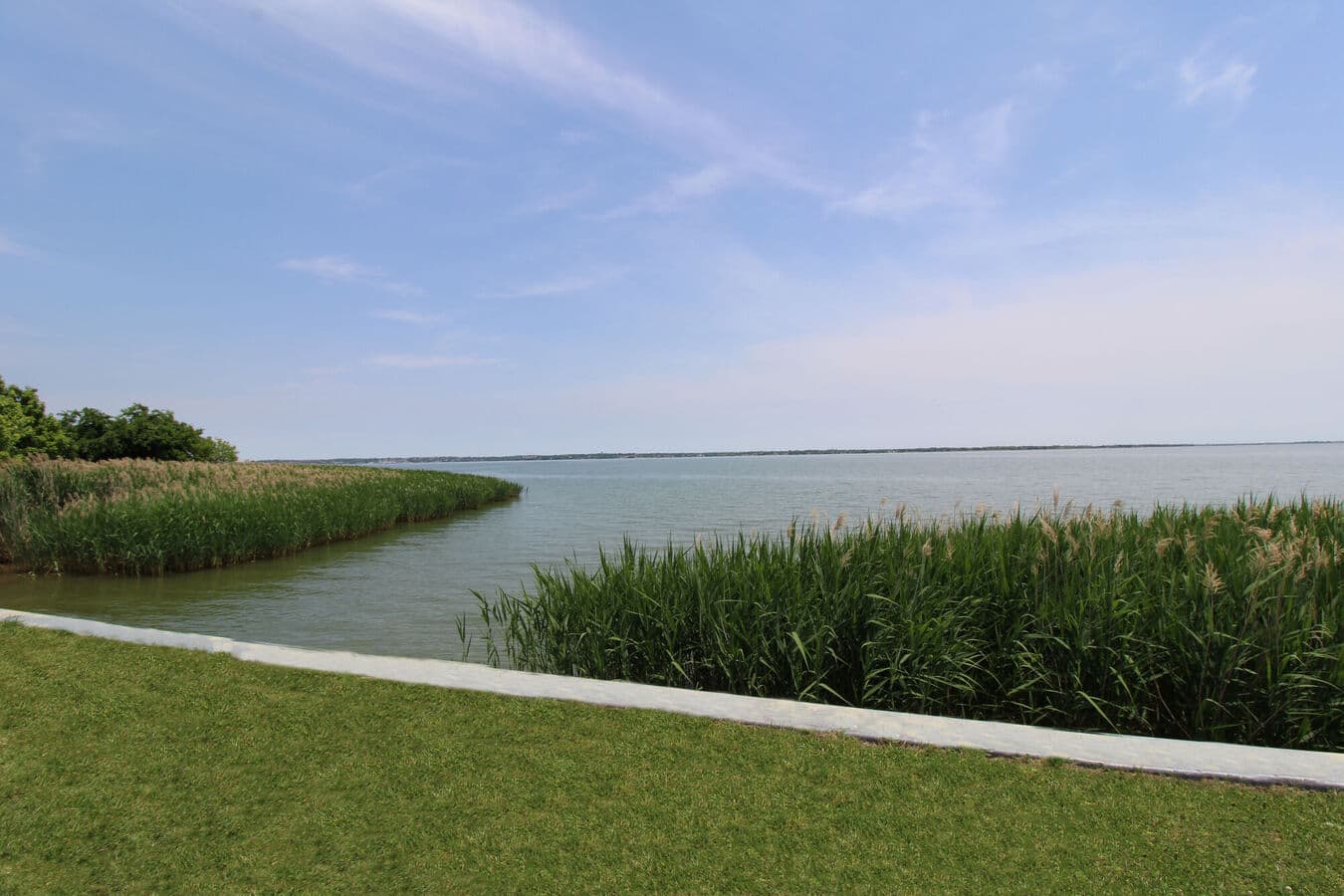
Lake Ray Hubbard shoreline beside Bay Island in Garland, Texas

Lake Ray Hubbard Fishing and Public Access: A Planning Guide

A source-first guide to the lake’s fishery, public access points, boat ramps, paddling, and the checks to make before you go.

TPWD-listed surface area
21,671 acres
Maximum depth
40 feet
Ramps and facilities
Public access
Before fishing
Check rules

Lake Ray Hubbard is large enough that planning matters. The access point, wind, weather, target species, and type of watercraft can completely change the day.

Texas Parks and Wildlife lists the reservoir at 21,671 acres with a maximum depth of 40 feet. Its primary sport fish include white and hybrid striped bass, largemouth bass, channel and blue catfish, and white crappie. Conditions and regulations change, so this guide points you to the official sources rather than replacing them.

Know the fishery you are entering.

Lake Ray Hubbard supports several popular species, but productive techniques vary by season, weather, water temperature, and location. Study the current TPWD lake page and recent official reports before choosing tackle or promising yourself a particular catch.

Statewide fishing regulations apply unless TPWD publishes a specific exception. Carry the required license and know the current limits for the species you intend to keep.

  • White and hybrid striped bass
  • Largemouth bass
  • Channel and blue catfish
  • White crappie

Choose access based on the actual trip.

TPWD maintains a public access directory for Lake Ray Hubbard with boat ramps and facility notes. Fees, hours, conditions, and operating status can vary by site, so select an access point only after confirming it fits your boat, vehicle, schedule, and current lake conditions.

Do not assume the closest point on a map is the best launch. Parking, ramp condition, wind exposure, and the part of the lake you plan to fish all matter.

Lake Ray Hubbard access facilitiesOfficial public access points, ramps, and facility notes.

Paddlers have a different planning checklist.

The Paddle Point Creek Paddling Trail offers an official TPWD route in the Lake Ray Hubbard area. Paddlers should review trail details, launch information, water and wind conditions, required safety equipment, and their own experience level.

Large open water can change quickly. A route that looks simple on a map may feel very different in heat or wind, so make conservative decisions.

Paddle Point Creek Paddling TrailOfficial trail, access, safety, and route information.

Use a five-minute pre-departure check.

Before leaving, verify the weather, wind, access status, regulations, and emergency plan. Tell someone where you are going, carry enough water, and wear the right personal flotation equipment for the activity.

Bay Island’s lakeside location makes Lake Ray Hubbard part of the everyday backdrop, but waterfront proximity should never replace sound outdoor judgment.
Plan with current information.

Hours, fees, access, events, and operating conditions can change. These official sources were used for this guide and should be checked again before you leave.

TPWD: Lake Ray HubbardOfficial reservoir characteristics, fishery information, and regulations.Open official sourceTPWD: Public access facilitiesOfficial boat ramps, public access points, and facility notes.Open official sourceTPWD: Paddle Point CreekOfficial paddling trail information and safety planning.Open official source

Questions, answered.

What fish are in Lake Ray Hubbard?

Texas Parks and Wildlife lists white and hybrid striped bass, largemouth bass, channel and blue catfish, and white crappie among the lake’s primary sport fish.

Where can I launch a boat on Lake Ray Hubbard?

TPWD publishes an official public access directory with boat ramps and facility notes. Confirm current hours, fees, conditions, and suitability before traveling.

Do I need a fishing license at Lake Ray Hubbard?

Texas fishing license requirements and statewide regulations generally apply. Review the current TPWD rules for your age, activity, location, and target species before fishing.

Make Bay Island your Garland home base.

Explore the community, compare verified floor plans, and plan an in-person visit beside Lake Ray Hubbard.

Apartments near Lake Ray HubbardExplore Bay Island’s lakeside setting in Garland.ExploreThings to do near the lakePlan a broader day around the water and Garland.ExploreVisit Bay IslandSee the community’s authentic shoreline setting.Explore
View all local guides
Authentic shoreline view of Lake Ray Hubbard from Bay Island

Windsurf Bay Park: What to Know Before You Go

Lake access, picnic planning, fishing, recreation, and the official details worth checking before you leave.

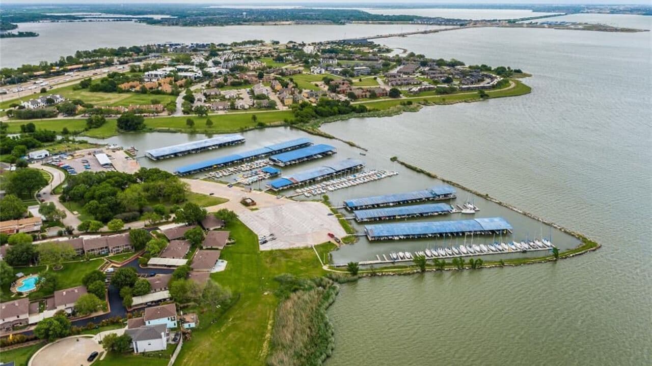
Aerial photograph of Bay Island beside Lake Ray Hubbard in Garland, Texas

Things to Do in Garland, Texas: A Local Starting Point

A practical guide to lakeside time, downtown discoveries, parks, trails, and the local places worth building a day around.

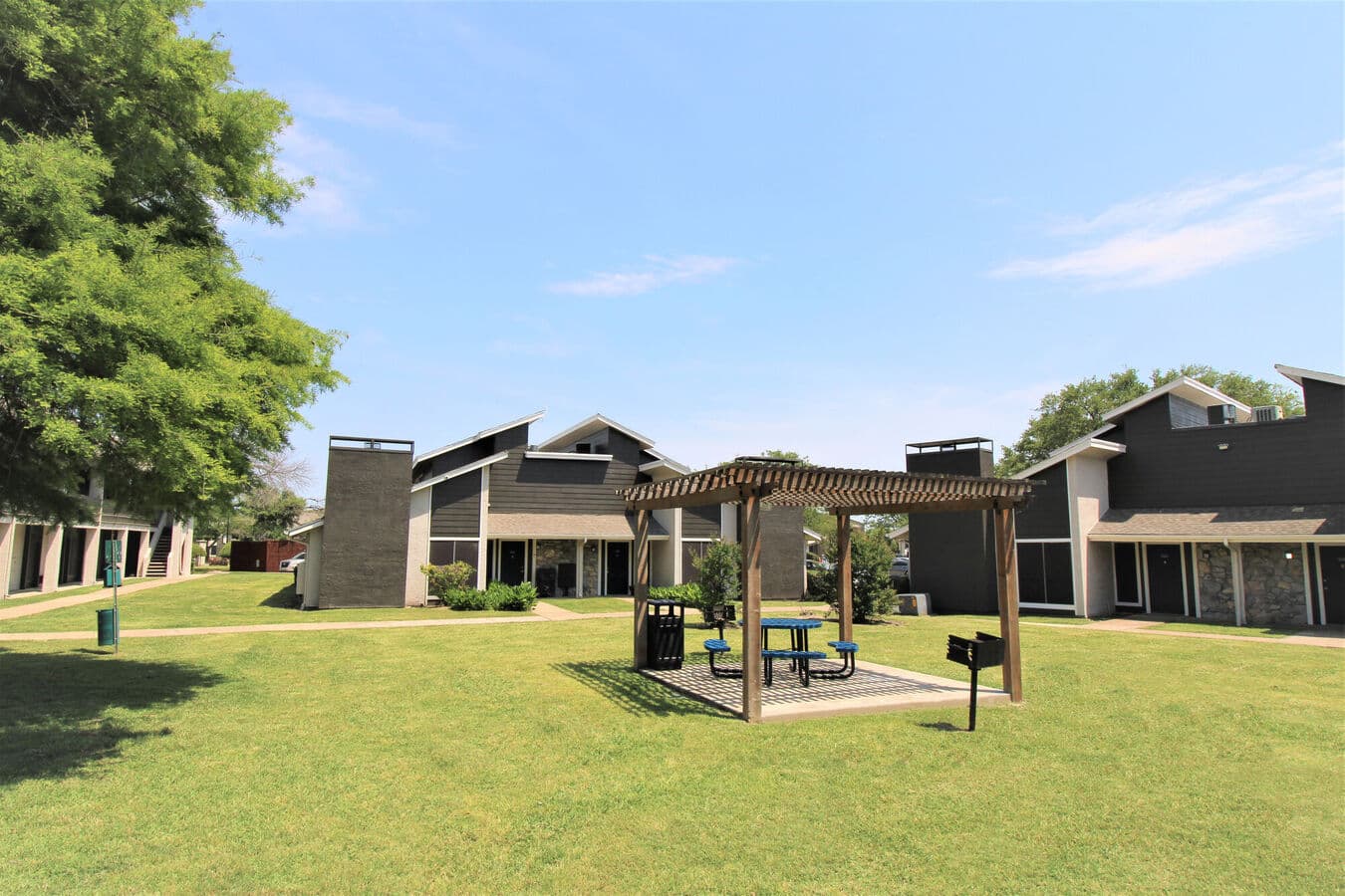
Mature trees and green lawn at Bay Island in Garland, Texas

Garland Parks and Picnic Spots: How to Choose the Right One

A practical method for choosing among Garland’s 63 parks based on the people, amenities, and pace of your day.